View Larger Map
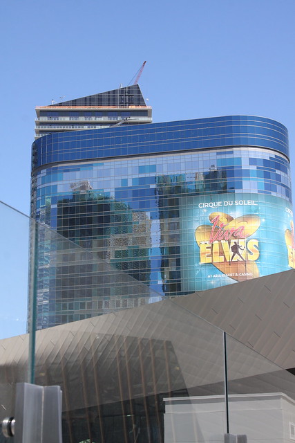
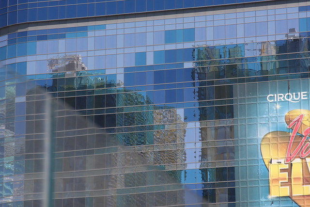
Today's thrilling adventure takes us to yet another (deservedly) obscure city park, one the city simply calls the
Jefferson Street Property. Similar to the nearby
Munger Property, it's a chunk of steep ivy-choked hillside overlooking US 26, just west of the Vista Tunnels. It isn't much of an urban crown jewel or anything, but I had a longstanding todo item about it, so I'm covering it purely for the sake of completeness.
Like many obscure city parks, the main useful piece of information about it on the interwebs comes from the city's Vegetation Unit Survey, which includes a
map and a
vegetation report. The report breaks the park down into two areas: A downslope level of primarily deciduous trees, and an upslope area of mostly douglas fir trees. And ivy. The report gives the douglas fir part of the park a 100% for non-native ground cover, and notes ominously that
"The ivy infestation is complete." Yikes. And furthermore, the city's 2010
Natural Areas Restoration Plan rates the place as a "Low" on "Natural Resource Function and Value", which appears to be a longwinded term for "importance". So I think it's a safe bet that this park's going to remain 100% ivy for the immediate future.
The
Munger Property vegetation map covers a wider area and puts this park in context, and based on this I'm not 100% sure I've got the park itself in the above photo. Which is always a problem when a park looks exactly like the non-park areas around it. It's either at the far left of the photo, or just outside of the frame, off to the left. If this isn't quite the right place, rest assured that the right place looks exactly like this, and I'm not inclined to go burn more gas just to take another crappy camera phone photo of anonymous trees.
Meanwhile, PortlandMaps knows the park as property ID
R128449. Curiously (if you care about this sort of thing), the piece of land between this park and the big chunk of Munger Property to the south (ID
R326836) is owned by the city too, but falls under the city property manager instead of the parks bureau. Don't ask me why, because I don't know. You could always call the city as an irate taxpayer demanding answers, if you're so inclined. I don't really feel like doing that that myself, but don't let that stop you. And if you do, and they give you a useful answer, feel free to post a comment here and let us all know what you found out. Really I think it would be more fun to just dream up elaborate conspiracy theories, like they're keeping it extra low profile because that's where the entrance to the lizard aliens' secret underground lab is located. I was going to say Batcave first, but the lack of Batmobile or other vehicular access makes that unlikely.
So at this point you might be thinking to yourself, "Hey, this place sounds friggin' awesome, I can't wait to go check it out, maybe bring a picnic, maybe plan a wedding there", etc., and you just need directions on how to get there. As far as I can tell the answer is "you can't". Despite the name, there's no Jefferson Street this far west. You might have been able to drive to the park before Sunset got the freeway treatment back in the 60's or so. You might even have been able to drive here until MAX construction removed part of Jefferson St. in the mid-1990s, although I'm not sure the street extended this far at that point. But it would've been a moot point anyway since the city only bought the land in 1995 (possibly in connection with the MAX project). And, unlike the Munger Property, you also can't get there from the West Hills side. Unless you buy one of the houses that back up to the park, I mean, which is yet another thing I'm not quite willing to do for the sake of a blog post. The vegetation summary report mentioned something about parking on the Jefferson St. freeway offramp, but you really don't want to do that unless you're in a large official-looking vehicle with flashing yellow caution lights on it, and probably not even then.
So a word of advice to those of you with blogs of your own. If you have an ongoing project or topic you write about regularly, and you feel you need to give it a really comprehensive treatment and cover things for the sake of completeness, eventually you're going to end up writing about stuff like this park here. You know it's useless and pointless and silly to write about it, but you can't
not do it, because it's within the scope of your project, and them's the rules. And there's certainly no shortage of restaurant or band or movie equivalents to this place. So consider yourself warned, or whatever.


